| GPS | N 33.6220 W116.6772 |
| Elevation | 6,825 |
| Season | Year round: Potential for snow in winter |
| Terrain | Packed dirt, some washboard, ruts, small rocks. |
| Difficulty | Easy |
| Required Vehicle | High clearance 4 wheel drive best |
| Time | 1 1/2 hour loop |
| Length | 14.5 miles loop |
Directions: From the South: take I-15 north then HWY-79 south to HWY 371: turn left and follow for 20 miles up into the mountains. You will come to a t-junction at HWY-74 go left. Thomas Mountain Road is a dirt road sign posted on your left before you reach Lake Hemit.
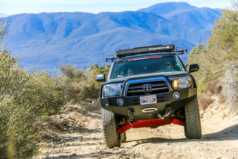
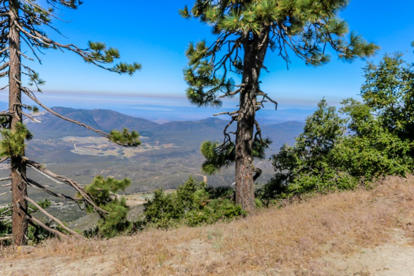
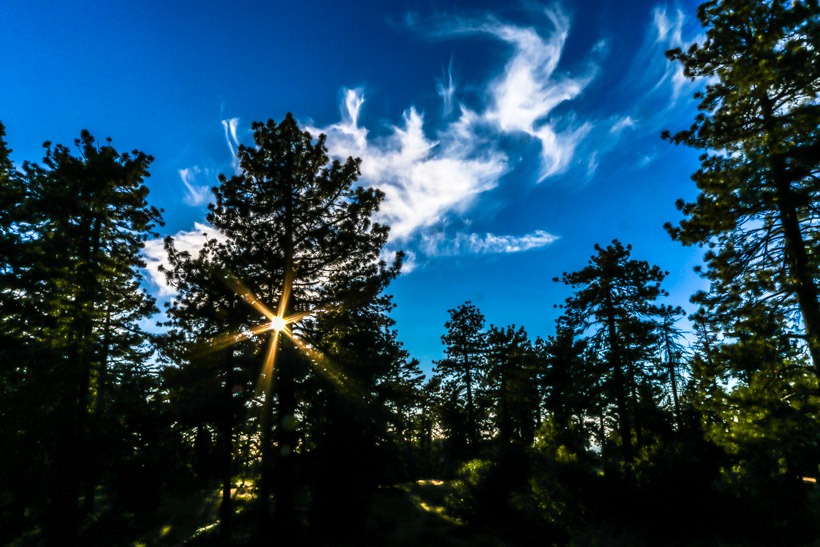
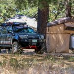
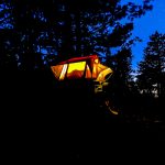
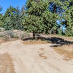
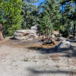
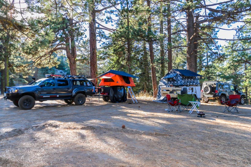
Site Location and Description: A packed dirt trail winds up Thomas Road to the summit. It is a fun and fairly easy dirt trail that winds through oaks and pinyons, to grassy meadows, then tall pines and cedars, with fir trees at the highest elevations. There are a couple of developed campgrounds at the top, with tables and toilets, and 9 primitive “yellow post’ campsites. Yellow post means that you can have campfires as long as the fire stays within the designated fire ring and as long as fire restrictions allow. Thomas Mountain Campground is on the summit. and is a very popular spot for locals to camp due to the amazing views and solitude. There are 6 additional campsites below the summit at Tool Box Springs Campground with restrooms but no water. Drive around, hike and explore you will find amazing, secluded, primitive campsites with wonderful views. Warning: This region is prone to fires, please be extremely careful and obey the no fires ordinance when in effect.
Winter warning: If you’re attempting to drive the Thomas Mountain Road or access a point from the road, it may be closed seasonally due to snow or maintenance. Be sure to check for current conditions of the roads in the area. Unlike other parts of the San Jacinto Mountains and surrounding area, you do not need an Adventure pass to park at the trailhead.
