| GPS- Old Dale Road | N33 49.68 W115 45.50 |
| Elevation | 1,300-2,500 ft. |
| Season | Year round: best Oct.-May |
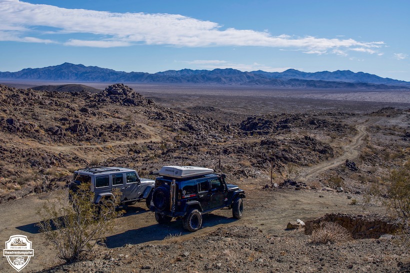
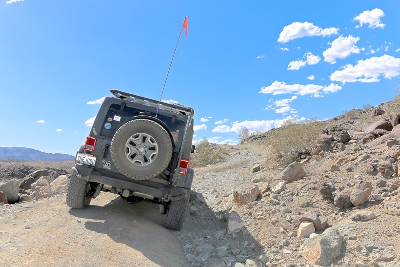
| Terrain | Packed dirt/sand. Ascent and descent is a narrow, sometimes off camber shelf road with embedded boulders and ruts. |
| Difficulty | Mostly easy/ Moderate for ascent and descent |
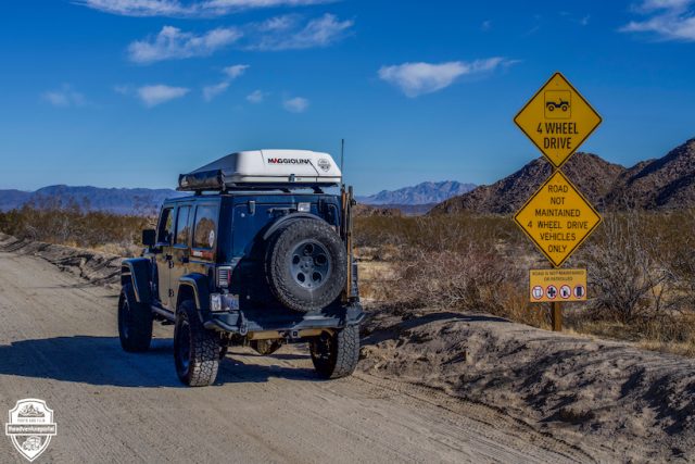
| Required Vehicle | High clearance 4WD |
| Time | 3 hours |
| Length | 25.8 miles each way |
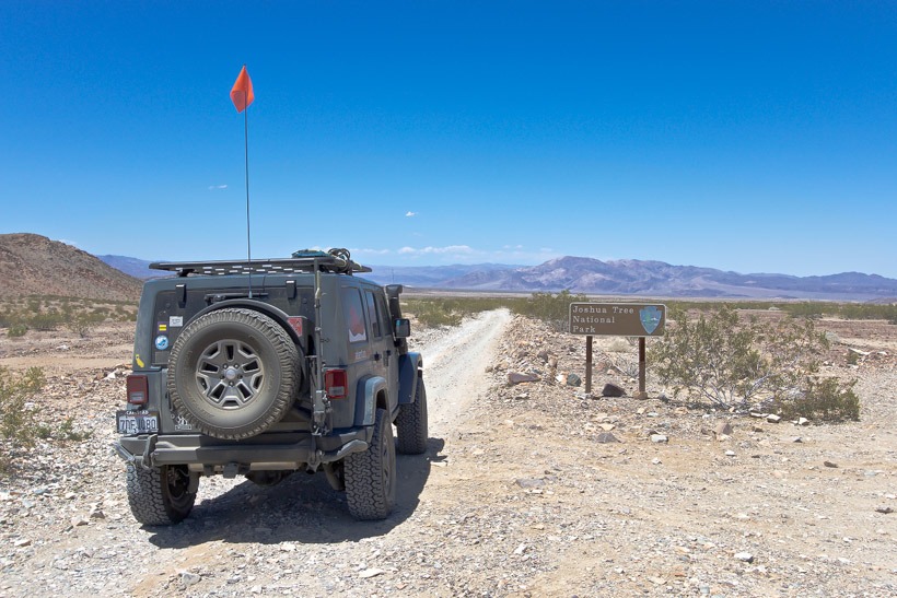
Directions to Old Dale Road: Start from Pinto Basin (also known as El Dorado Mine Road) 6 miles north of Cottonwood Campground. The trail ends at Old Dale on CA 62, 14 miles east of Twentynine Palms.
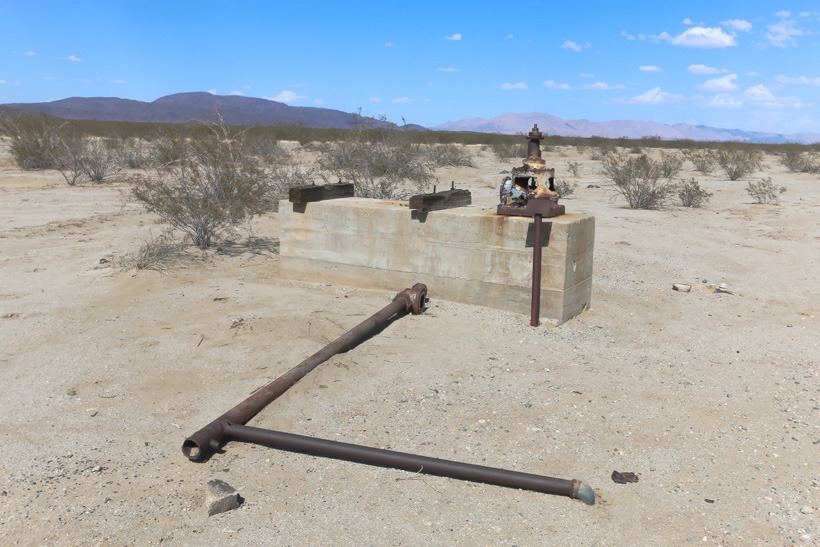
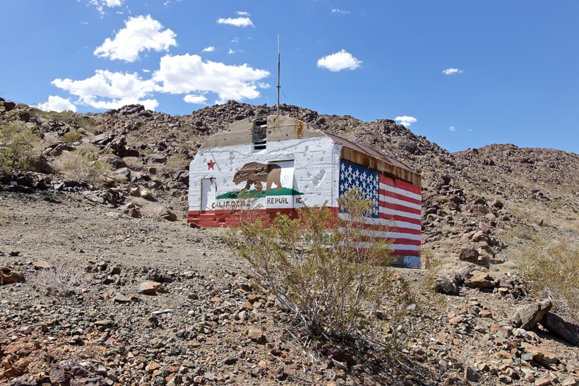
Old Dale Road-Site Location and Description: Old Dale Road traverses the two deserts that make up Joshua Tree National Park, the Colorado and the Mojave. You will see the different vegetations along this trail then watch them come together in a transition zone along the Pinto Basin. The Colorado desert is the hotter of the two deserts and its vegetation consists of cacti, chollas, ocotillos, and ironwood trees. The Mojave is famous for it’s Joshua Trees. This overland trail will pass Mission Well and the Mission Mill site, although there are little remains of either. You will see the Brooklyn Mine Trail going off to the east. Stay on the dirt road and you will start your climb up into the Pinto Mountains, exiting Joshua Tree National Park. This is where the off-road trail becomes more challenging…or fun…..you will climb a narrow, uneven, shelf road with imbedded rocks. Up in the Mountains, you’ll be able to find the remains of many mines. There are numerous side trails to explore. One not to miss is a trail leading out to the Duplex Mine. It is located on the ridge top and although there are little mining remains, the panoramic views from the top are breathtaking. Back onto the main route you will join Gold Crown Road and pass close to the site of New Dale marked by a pile of cans. The trail descends to CA 62 at Old Dale.
History of Old Dale Road: Old Dale Road in Joshua Tree National Park, takes you through a variety of mines that were built and worked as early as the 1880’s and as late as 1990’s. Old Dale was the site of the earliest mine in the Dale Mining District. It was originally called Dale and got it’s water from diggings at Dale Lake, 5 miles away. Miners spread across the area and established other other sites: The Virgina Dale mine (1885) which can be seen off of Brooklyn Mine Trail, the Supply Mine (around 1900), which was so successful that the town of Dale moved closer to it calling itself New Dale and the original spot Old Dale. The town of New Dale was built close to the Virginia Dale Mine and can be visited off Brooklyn Mine Trail. The Golden Egg mine set on the mountainside abouve the San Bernardino Wash and below Old Dale Road was active from the 1940s-1970s. South, in Pinto Wash you will see the Sunset and Mission Mines and Mills (1930s), used by miners of the region. There you will see the remains of an arrastra (old grinding mill for silver and gold) and wells serving both mines. The main iron tank at Mission Mill was recently dislodged and the circular concrete base is now used as a helicopter landing pad. The Mission Mine was operated sporadically into the late 1990s.
