| GPS | 33.13072, -116.301549 |
| Elevation | 717 ft. to 1,250 ft. |
| Season | Year round: best Oct.-May |
| Terrain | Packed dirt |
| Difficulty | Easy terrain |
| Required Vehicle | 2 wheel drive |
| Time | 10 minutes |
| Length of Trail | 1/2 mile loop |
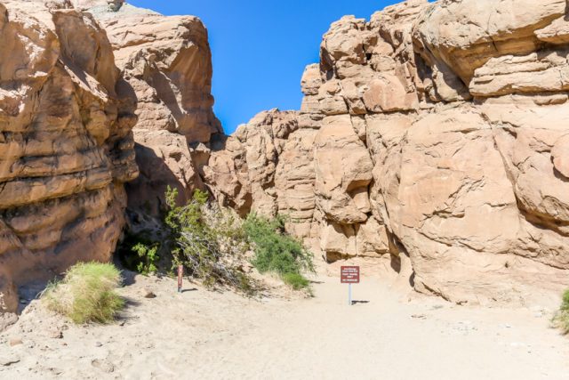
Directions: From Christmas Circle in Borrego Springs, drive 11.5 miles southwest on Borrego Springs Road. Turn right on Route 78 west and drive 4 miles through a dramatic gap between Yaqui Ridge and the Vallecito Mountains. Pull off the road into the trailhead parking area on the south (left) side of the road near mile marker 81.5, just south of Quartz Vein Wash.
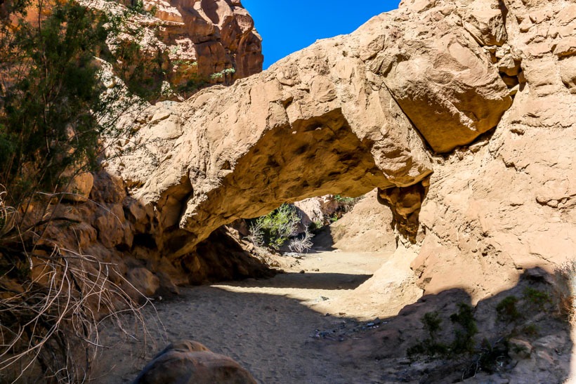
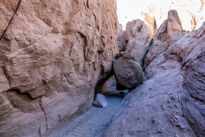
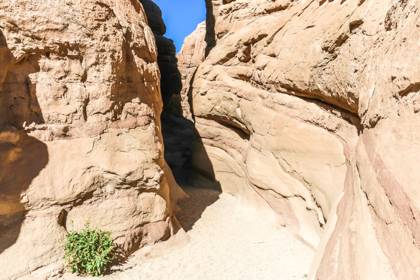
Site Location and Description: This is a very short, extremely cool hike very close to the trail up to Calcite mine. If you are going to the mine, bear left and you will soon arrive at the Narrows. As in other areas of Anza Borrego, the Narrows offers the visitor spectacular examples of rock formations and sedimentations that are an archeologist’s dream. This is a super fun, kid friendly hike that winds around through and under mud/rock tunnels and gives everyone plenty to look at, climb up on and under and take photos of. Reportedly there are pamplets at the beginning of the trail with good information about the geology. We didn’t see them when we visited, although it could have been because we were really excited about getting into the narrows and exploring. This is a popular trail so pick your times to explore wisely. TAP Note: Although we enthusiastically promote exploring the Narrows, we stress that you be very careful, always: take water, watch the kids, and do not mark or take any rocks.
