


| GPS- Pinkham Canyon Trail | N33 46.75 W115 54.99 |
| Elevation | 1,400-3,400 ft. |
| Season | Year round: best Oct.-May |
| Terrain | graded, narrow in sections, loose and sandy in spots |
| Difficulty | Easy to Moderate |
| Required Vehicle | high-clearance 4WD |
| Time | 2 1/2 hours |
| Length | 21.5 miles |
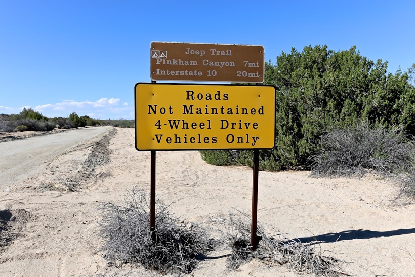
Directions to Pinkham Canyon Trail: This overland trail begins opposite the Cottonwood Visitor Center on Pinto Basin Road and ends at I-10 Frontage Road exit, 17 miles east of Indio.
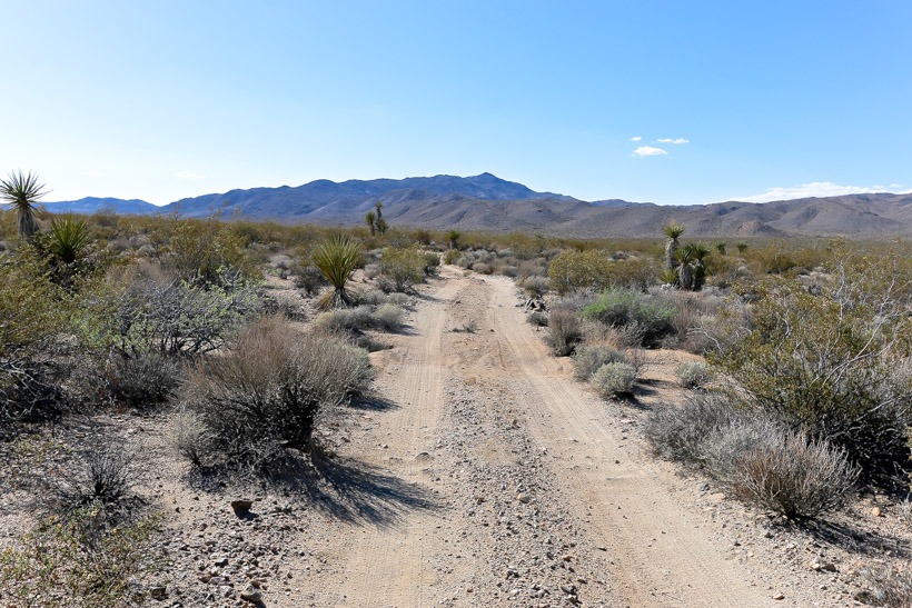
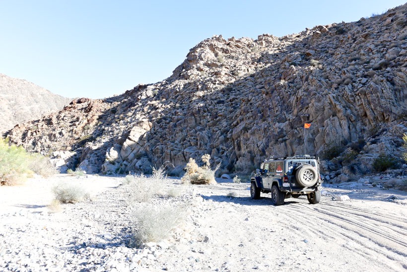
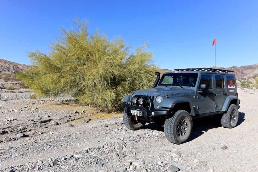
Site Location and Description: This is a beautiful and easy off-road trail that crosses through a sloped bajada and winds through Mojave yuccas to a gap in the Cottonwood Mountains. Monument mountain can be seen to the north and you’ll drive through the Pinckam Canyon Wash. There is one side trail down Thermal Canyon. Again, a beautiful trail worthy of exploration.
History of Pinkham Canyon Trail: This area was inhabited by the Pinto people; some of the earliest inhabitants of the Southwest. They used it’s river as a food gathering source. Evidence has been left behind as rock art scattered throughout the area. The Cahuilla Indias also roamed this region and used it’s water sources. Look for the mortar holes in the rocks. Long after the Pinto Valley became a dry basin, prospectors arrived. They named a peak near Cottonwood Spring at the northeastern end of the trail, Mastodon for it’s shape. They opened a mine, active from 1910-1930 at the base of Mastodon Peak. Shafts and some ruins remain. Moorten’s and Winona Mills were also located in this region. Miners used the water at Cottonwood Spring for their mills and teamsters transporting supplies in the Pinto Mountains also made use of this water source.


