| GPS | N 37.365 W-118.5227 |
| Elevation | 5,500-9,172 ft. |
| Season | Best: May-Oct. Hot in summer |
| Terrain | Dirt, smooth to gravel, narrow to rocky two-tracks |
| Difficulty | Easy/More challenging side trips on marked forest roads |
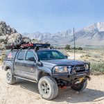
| Required Vehicle | Stock 4×4 with high clearance. |
| Time | Three to four hours for the loop |
| Length | approximately 18 miles |
Directions to Buttermilk Country Loop Trail: From Highway 395 in Bishop, head west on Hwy 168 (West Line Street). After 7.3 miles, turn right on Buttermilk Road 07S01.
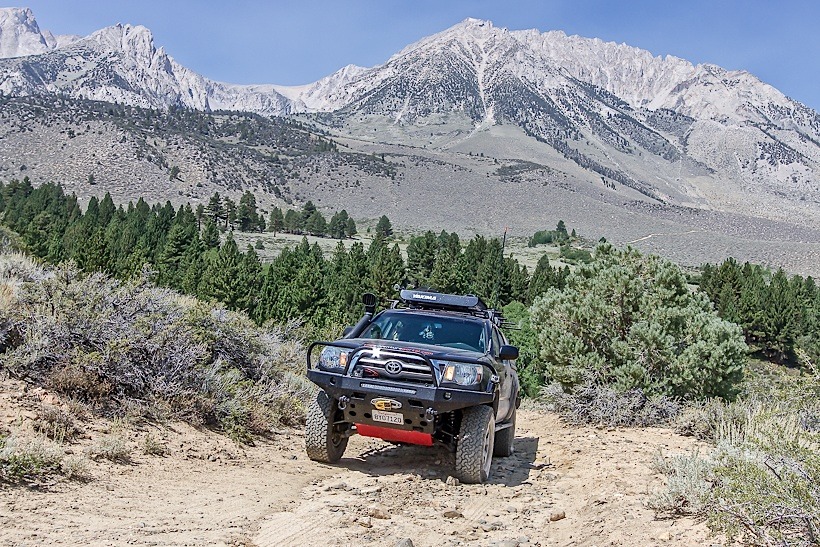
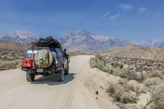
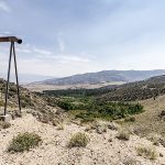
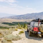
Site Location and Description: The Buttermilk Country Loop trail is situated below the majestic Sierra Nevada Mountains. The trail is composed of a loop with several legal side roads to explore both on foot and in your off-road vehicle. There are also a variety of primitive overland campsites on the marked national forest side roads.
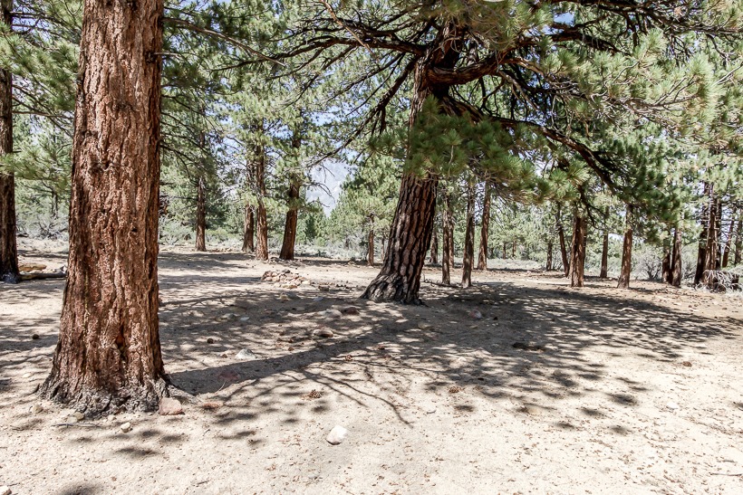
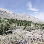
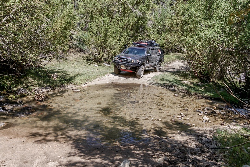
Buttermilk Country Loop trail crosses into the famous John Muir Wilderness area that extends along the crest of the Sierra Nevada of California for 90 miles, in the Inyo and Sierra National Forests. The loop is 16 miles long and runs through terrain which varies from desert boulder strewn geography to pine forest glades. Along the first four miles, you may encounter other vehicles as this is a popular bouldering destination. There are a couple of stream crossings that are mellow in the summer, but have the potential of being considerably deeper during rains or with spring run-off. The side roads should be explored as they are picturesque and some provide stunning views down into the valley. A TAP recommended vehicle supported adventure trail.
Road Conditions: Inyo National Forest, White Mountains R.D.: Call- 760-873-2500


