


| GPS | N37 21.69 W118 26.54 |
| Elevation gain | 4,400-10,800 |
| Season | April-November |
| Terrain | dirt, sand |
| Difficulty | easy to moderate |
| Required Vehicle | Stock 4×4 with high clearance. |
| Time | 2.5 hours each way |
| Length | 16.2 unpaved |
Directions: From Bishop CA on US-395: go to the intersection of Main Street and West Line Street. Go west on West Line Street for 2.6 miles. Turn south on Reata Road and proceed straight on the paved road for about a mile. Turn right onto an off-road graded dirt road at an unmarked intersection. Go 3.9 miles down the road to the trail head at 5,716 ft.
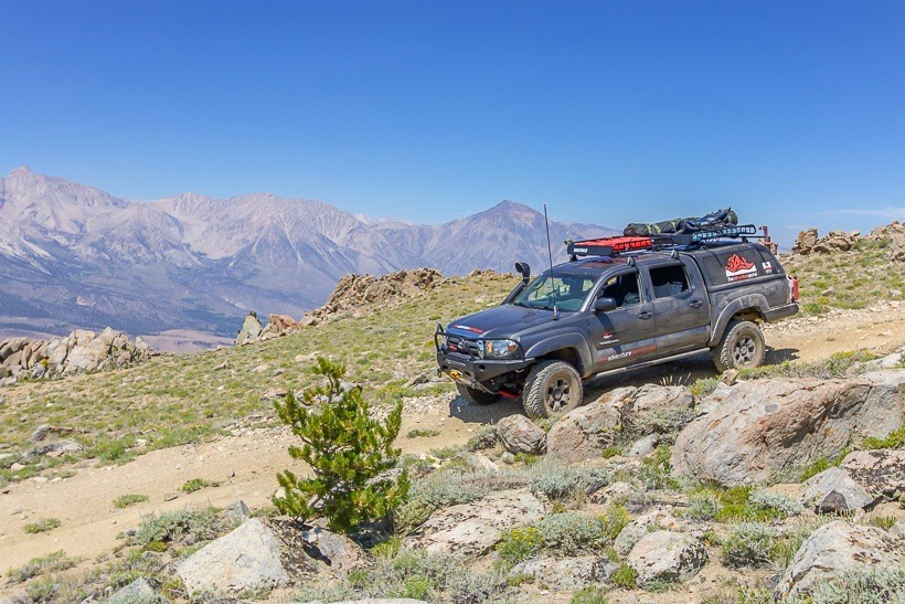
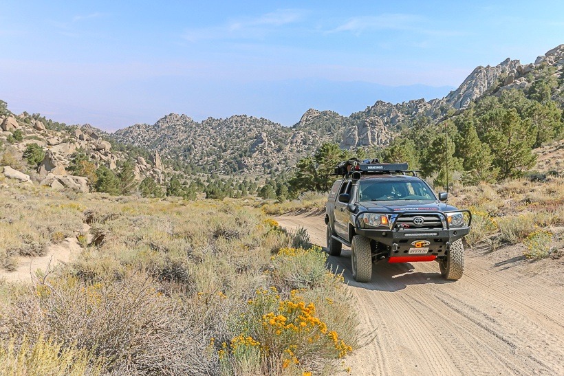
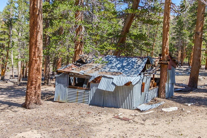
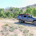
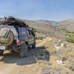
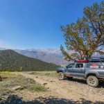
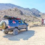
Site Location and Description: Coyote Creek Trail is the main overland trail leading into a network of off road and ATV trails in the Eastern Sierra, just west of Bishop CA. The trail starts off in Owens Valley, crosses BLM land then enters into Inyo National Forest. The first 3.9 miles is an easy sand road that leads into a steep uphill switchback section that climbs more than 2,000 feet.. This section will be challenging for those without aggressive tires, high clearance, 4WD vehicles. There are many primitive camping opportunities along the trail. At 6.3 miles there is a picturesque campsite by the trail and creek. Coyote Creek Trail passes by the Peterson Mill site where you can see the remnants of the mill. This trail offers multiple primitive camping sites. There is a split in the trail at GPS coordinate: N37 14.91 W 118 29.34, if you take a left, it leads to Coyote Flat Trail. Coyote Creek Trail continues along the West Fork Coyote Creek in a narrow valley. The terrain becomes rougher but is easily driven with 4WD and high clearance. The trail ends above a small lake at a spectacular viewpoint. This is a TAP recommended vehicle supported adventure trail worthy of a few days of exploration and camping.
Click here for more CA off-road, Overlanding trails…..and TAP into Adventure!


