| GPS (Trail Start) | N36 45.03’ W116 56.15’ |
| Chloride City Elevation | 3300-5200 ft |
| Season | October-May |
| Terrain | High desert (sand and rocky trail) |
| Difficulty | Moderate/rocky climb |
| Required Vehicle | Stock SUV’s with high ground clearance and 4WD |
| Time | 2 hours |
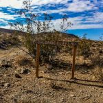
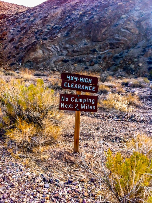
Directions to the Chloride City Trail: 3.4 miles NE from Hells Gate rest stop on Hwy 374 towards Beatty. A small trail marker (4×4, High Clearance marker) at pull- off marks start of trail. Ten miles NE of intersection with California 190. Finishing point: Nevada 374 at the boundary of Death Valley National Park, 9.5 miles southwest of Beatty, NV.
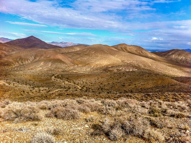
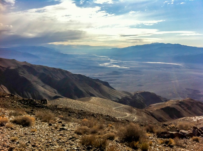
Trail Length and Description This is a moderate out and back off-road trail that covers approximately 17 miles. It starts at 3300 ft elevation with easy flat sandy terrain and then climbs mild rocky switchbacks to Chloride Cliffs at 5200 ft. The view at the top looks over Death Valley National Park, the Amargosa range and the Panamint range and is one of the best in the park.
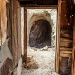
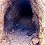
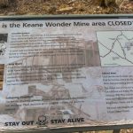
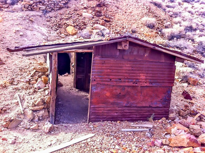
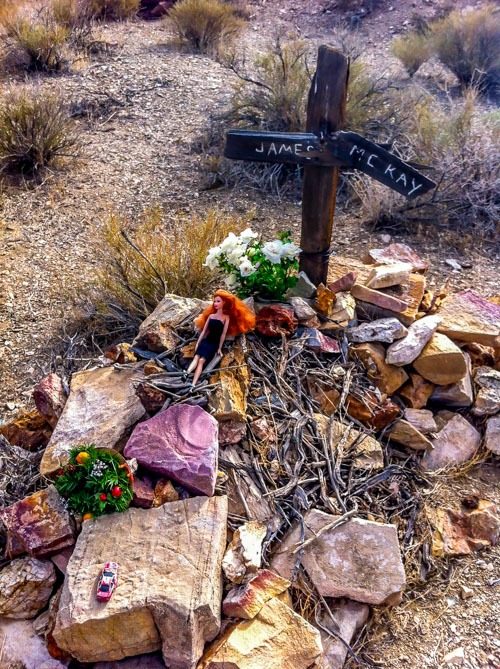
The History of the Chloride City Trail: The City and mine was established in the 1871 by A.J Franklin when he discovered silver at Chloride Cliffs. Unfortunately poor profitability caused abandonment by 1883. The mine was re-opened in 1908 but again closed by 1918. Today you can see the remains of old cabins, the mine shafts and the grave of miner, James McKay.
Click here for more CA off-road, Overlanding trails…..and TAP into Adventure!


