| GPS | N 37 30.891 W118 38.295 |
| Elevation gain | 7,675-10,131 ft |
| Season | mid July-late Sept |
| Terrain | rocky and steep in places |
| Difficulty | moderate |
| Required Vehicle | Stock 4×4 with high clearance. |
| Time | 3 to 4 hours round trip |
| Length | 9.2 miles one way |
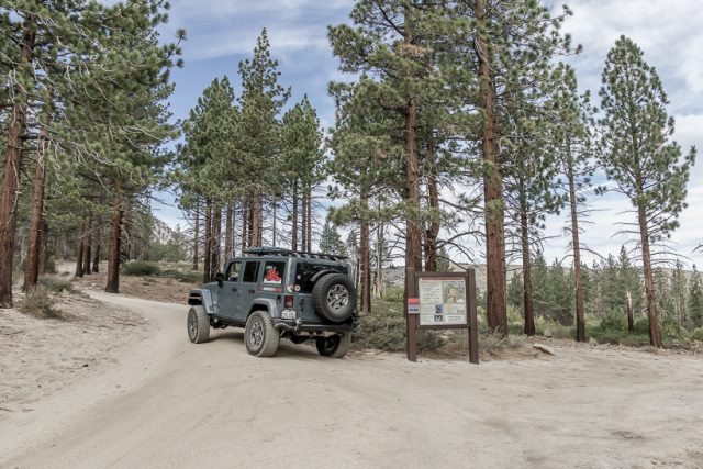
Directions to Sand Canyon: From highway 395, between Mammoth Lakes and Bishop, take Lower Rock Creek Road south 4.3 miles or Gorge Road/Old Sherwin Grade Road north 6.8 miles to Swall Meadow Road. Go west on Swall Meadow Road .7 miles and turn right on Sky Meadows Road. Follow Sky Meadows Road northwest .5 miles to a one-lane dirt road on the right soon after the pavement ends.
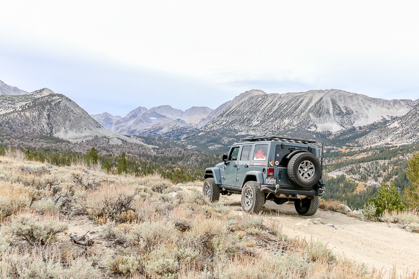
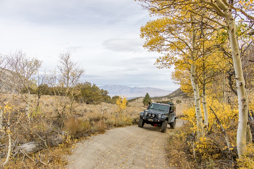
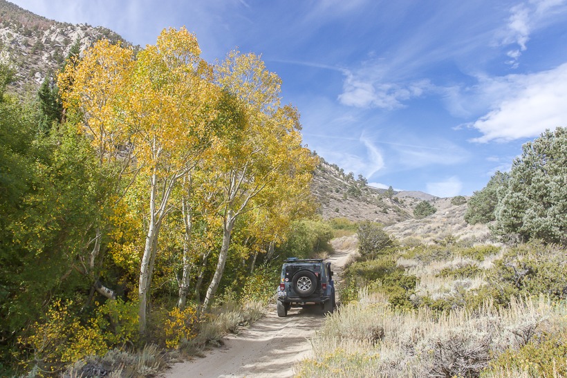
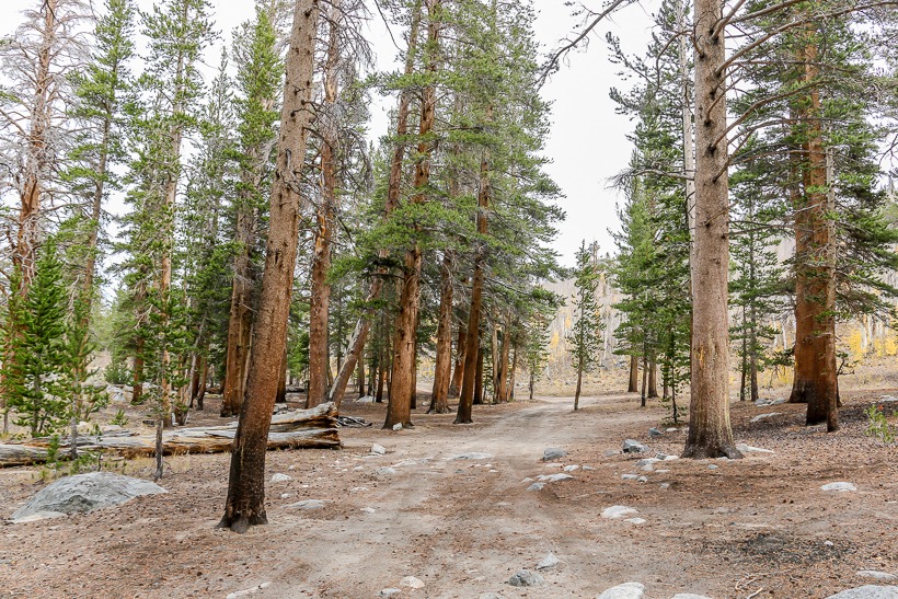
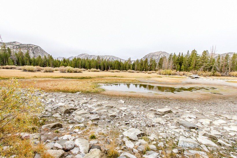
Site Location and Description: Sand Canyon is a fun and beautiful overland trail that follows the John Muir Wilderness and climbs up giving you great mountain views. This trail is rated moderate and has some sandy areas and several steep rocky climbs and descents. In the spring, the wildflowers are abundant and in the fall, the landscape is filled with beautifully colored leaves. You can spend the day and fish at a small lake at the end of the trail, although the lake level varies. (Summer 2015: lake level-extremely low). You’ll find a primitive overland camp area here as well.
Current Road Conditions: 760-873-2500


