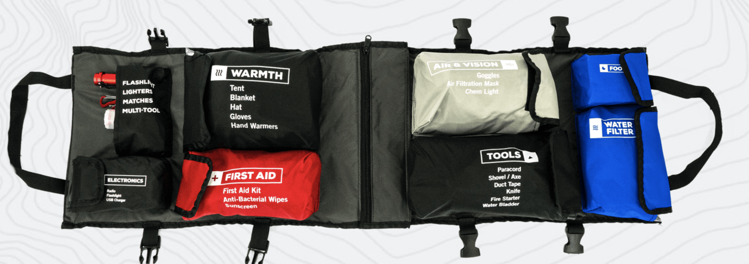
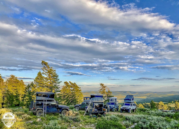
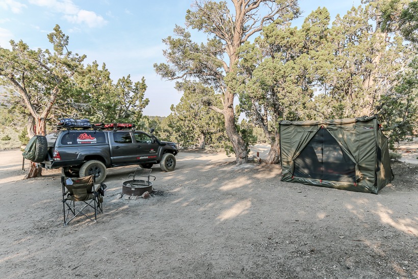
Overlanding Communication Devices
Communication devices are a crucial but often overlooked category of overlanding equipment.
This gear can save your life. Whether it be a simple hand-held, a CB Radio, satellite phone, or beacon. After doing quite a bit of research, I’ve written this article to share a couple of key points about each type of device to assist you when making a decision on the type of communication device(s) you want to invest in.
Purpose and Selection:
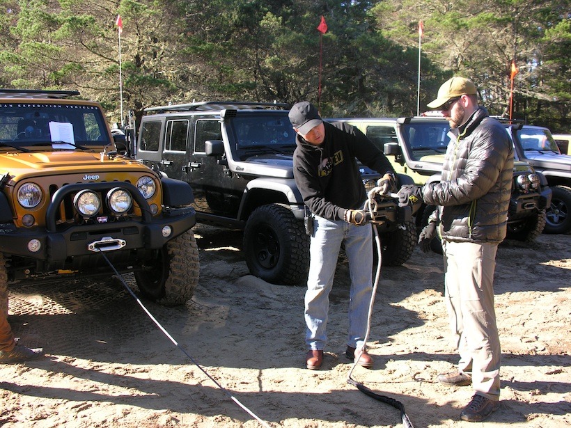
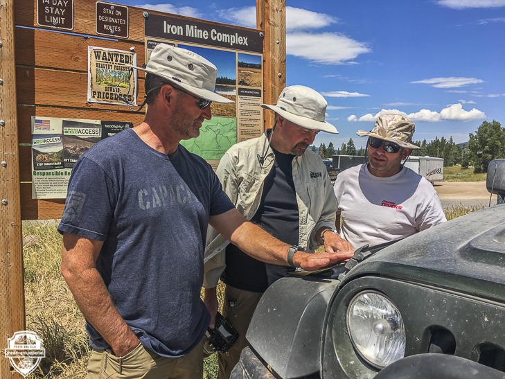
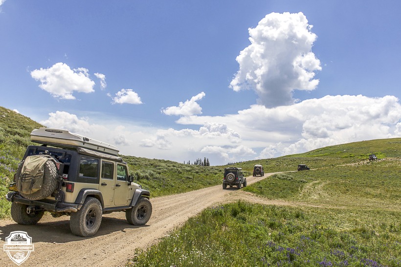
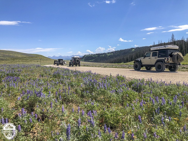
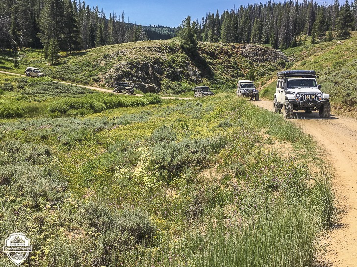
One of the most simple, and frequent uses of communication devices is to communicate between rigs. To discuss routes, allow the leader to give a heads up for oncoming traffic, the need for a break, need of a spotter, notifying others you want to stop to snap pictures or that something is wrong with either your vehicle or someone in the party.
On the other end of the spectrum there are devices we can use when we need to communicate to Search and Rescue agencies or friends/family at home during an Emergency. It’s not something that any of us would ever wish for, but serious accidents do occur. Slips and falls resulting in broken bones, vehicle roll overs etc. Having a way to reach civilization to get help or further medical care is of the utmost importance.
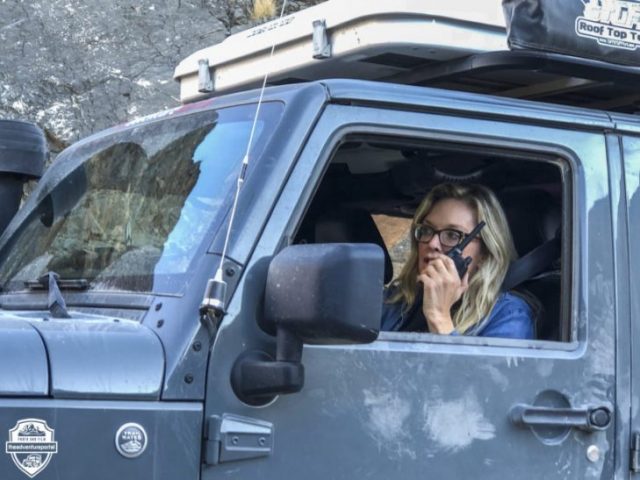
I’m going to start with the choice of devices one could use when communicating between rigs or with others nearby. Here are a couple of PTT (Push To Talk) type systems that may fit your needs .
Mobile two-way radios

These “walkie talkies” are extremely simple to use and are great for talking to other people in your group, rig to rig or person to person. Most will run on AAA or AA (rechargeable) batteries, and are very easy to come by, however their simplicity limits their range, which is one of their drawbacks.Again, these are best used rig to rig, person to person within a few miles of one another. Do not depend on these as a means of emergency communication. Midlandusa.com
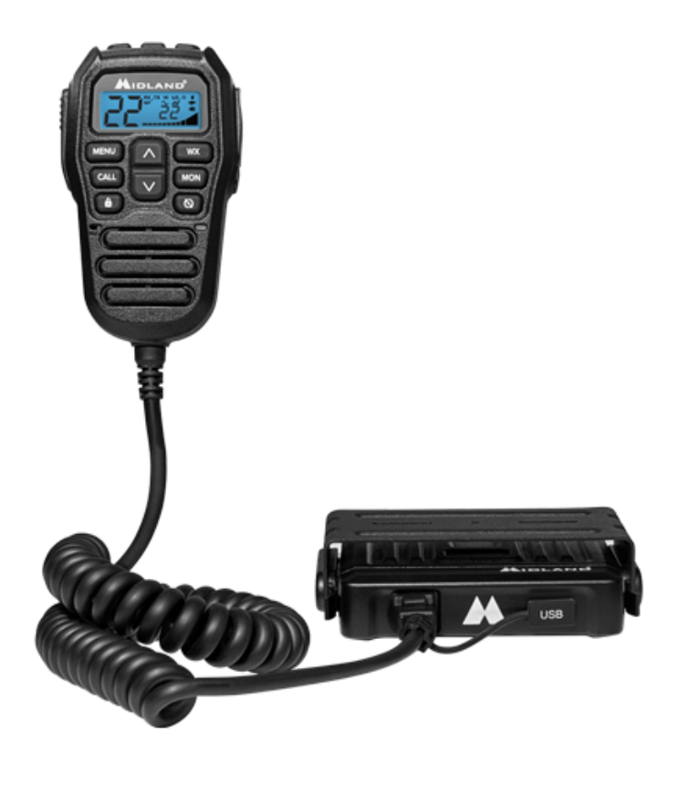
For longer range and a more powerful output, there are micromobile units with integrated handheld microphones that mount in your rig. With these you don’t have to think about recharging and you get better reception and range than with the portable walkie talkies. For extended range, add a larger antenna (TAP uses the MXTA11 6db Gain from Midland). This particular radio, the Midland MXT275 MicroMobile, broadcasts over 15 GMRS channels plus eight high-powered repeater channels. It also allows you to tune into NOAA Weather Radio to get weather updates from the National Weather Service. It comes with a Mounting bracket, 12V power cord, detachable antenna and magnetic antenna mount. Again, these are not meant as emergency communication devices. Midlandusa.com
Citizens band radios or CBs
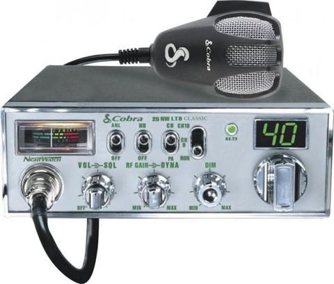
This type of communication device is fairly common in the overlanding community. CB’s receive radio wave signals via land based towers . They are relatively inexpensive, reliable, and semi-easy to install. CB’s will cover most of your typical cross-vehicle talk and basic communication needs. CB radios have the advantage when you need more range than a two-way radio, but don’t want to dish out too much money for more expensive equipment. Your range will vary between 2-15 miles depending on your antenna and the terrain. With a CB you are not limited to talking to others in your caravan, you can communicate with other CB users. This could come in handy if you needed help and were within range of other CB users (truckers etc.). So, they are great for communicating with both friends and strangers, and do not require a license.
There are two types of CBs: vehicular mounted and handheld. There are pros and cons to both types.
A fixed Platform or vehicle mounted CB radio will offer greater range due to the use of a vehicle mounted antenna (generally 36-72″). It also provides longer lasting power due to its source (vehicle battery, solar power, etc.). A draw back is that you can’t take it out of the car.
Handheld CB radios provide you with the ability to be mobile with your communications device. They can either be mounted in your vehicle, taken with you on a hike, or used to guide someone through an obstacle. The downside is that they run out of juice quicker than vehicle mounted CB’s, but you can extend the battery life by bringing a compatible charger assembly or by hard wiring a charging station into your vehicle.
In order for a CB to be in the correct operating range, it will require tuning. This can be relatively easy to accomplish, there are YouTube videos that can guide you through the process, or it can be done professionally (I had mine tuned professionally). This will put it in the correct operating range, allowing for communications over longer distances, and will keep you from potentially damaging or burning out the system.
Range for CBs can be limited by a variety of things such as system power, tuning, terrain, etc. Range can be extended by the use and type of a vehicle mounted antenna, So make sure if you take this route, you test your system before tapping into your next adventure. Citizen band radios are a step up from walkie talkies, but are still limited.
Amateur or Ham Radios
The first thing you should know about Ham radios is that before you can get on the air, you need to be licensed and know the rules on how to operate legally. US licenses are good for 10 years.
Wireless amateur communication is done on numerous bands (relatively narrow radio frequency segments) extending from 1.8 MHz (wavelengths of about 160 meters) upwards through several hundred gigahertz (wavelengths in the millimeter range). There are several types of license classes available. The more privileges a class of license conveys, the more difficult the examination is. Google it to find one in your area. An important fact to consider here is that ham radios work when all other services fail. Going to the extreme, during states of emergency these are the radios to have. After Hurricane Andrew struck South Florida in 1992, the utility grid was destroyed over hundreds of square miles. When all cellular towers and antennas were blown down. Only amateur radio, the Citizens Radio Service or Citizens Band and a few isolated pay phones with underground lines provided communication between the outside world and the public in the affected area.

In my opinion, this is your best option as far as PTT Comms go. There is a good sized network of people who would most likely be willing to help you get started, or at least point you in the right direction to get things rolling. They can also be the most painful to set up and install. Like CBs, there are both mounted and handheld versions. There are also many factors that can affect operation. Despite the report of its effectiveness during Hurricane Andrew, atmospheric conditions, power output, antenna, terrain, weather, programming, and more can play a role in the effectiveness of HAM Radios.
Despite the draw backs I mentioned previously, they still remain the best option. In my experience, Ham radios provide the clearest voice communication, the greatest range, they provide NOAA weather reports, and have substantial battery life. We used them frequently throughout a 4 day trip, and did not even come close to needing a recharge. I was thoroughly impressed.
The next group of communication devices are used under more extreme circumstances and their effectiveness comes from their ability to connect to others via satellite system. I believe that it is vitally important to have one of these communication devices when traveling in areas where there is no cell phone coverage (even if there is, you should have a way to signal for help via satellite). Always having a way to be in contact with “civilization” is vital when overlanding in remote areas.
Locator Beacons, Satellite Phones, and Other Signaling Devices
Iridium or Satellite Phones
 Iridium satellite phones are mobile devices that do not receive their signal via land based towers, but from satellites in orbit around the earth. Some are designed for near global usage, and offer safety and security features that can not be provided by a traditional cell phone. I use one because it can communicate world wide, it’s fairly compact and moderately rugged.
Airtime can be prepaid or obtained on a monthly service contract. Satellite phones are commonly used by Search and Rescue, military personnel and others working in remote zones. In a natural disaster, if a cell tower goes down, the whole communications network is at risk of being overloaded or may fail entirely. Communication via satellite phone is possible because it bypasses the local system entirely.
That being said, one of the absolute major pitfalls of a device like this, is the sheer cost. They generally retail for around $1,000-1,200, and then the cost of ancillary items needed to operate such as minutes, plan, or sim card add to the cost. Another downfall for Iridium Phones are they are not always great in areas of dense vegetation (like where I currently live in the Pacific North West). You may have to hike your way to a more suitable location, with a better Line Of Sight (LOS) to the open sky. I have read and heard stories of weather affecting calls/transmissions from a satellite phone, however I have never personally had this issue.
Personal Locator Beacons (PLB)
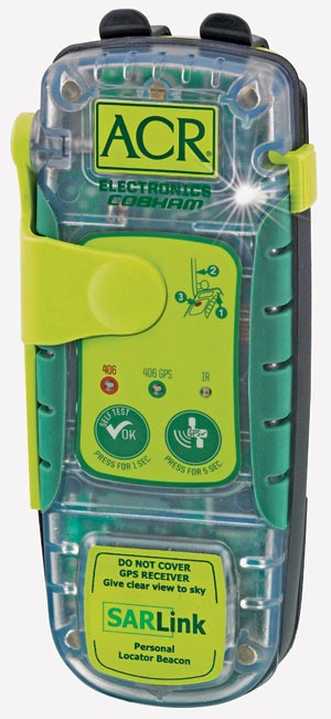
Personal locator beacons are high-powered (typically, 5 watts) devices designed primarily to send out a personalized emergency distress signal. They generally require an open view of the sky to transmit successfully. They send a powerful signal to a network of satellites that are associated with Search and Rescue Satellite Aided Tracking (SARSAT). This enables Search and Rescue personnel to track your location via GPS Signal
Personal locator beacons must be registered with the National Oceanic and Atmospheric Administration (NOAA). There are two types of PLBs available. GPS-based and high-precision based. I will only discuss PLBs with GPS as they are more common, and realistically a better option for the overlander. This device provides your precise location, making it possible for rescue personnel to locate you faster, saving what could be precious minutes. The most common of these types of PLBs can be found from a company called ACR Electronics ($250-600). What I would like to stress most about PLBs is the fact that they are 100%, absolute, emergency systems only. They do nothing else beyond providing a link to Search and Rescue teams for when you are in the most dire of situations.
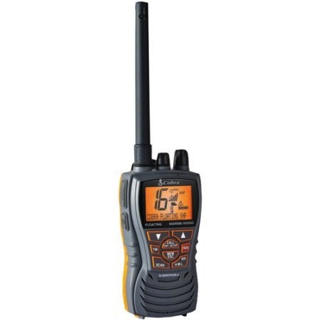
Satellite Messengers
Satellite Messengers are gaining popularity for a multitude of reasons. They are lightweight, multifunctional, and capable of handling 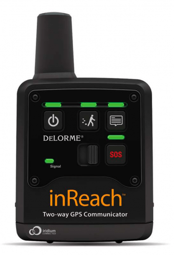 the elements. These systems have the ability to send SOS messages in addition to being able to send regular messages to let friends and family know you are okay and still moving along in your journey. They will operate from one of two satellite networks, either Iridium or Globalstar. Some devices such as those made by DeLorme incorporate GPS Navigation allowing the user to set way points, log trips, and both send and receive text messages.
Simpler devices such as the SPOT provide GPS tracking, SOS Signaling, and the ability to check in 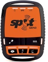 with friends and family. Be aware that the SOS reporting systems for these types of devices differ from that of PLBs, and require a subscription. Also, as with any satellite communications device, vegetation and terrain can play a large role in signal availability, requiring the user to get to a more open area, or to higher ground.
I have seen people use all types of these devices; from activation of PLBs alerting SAR personnel, to using a SPOT to let family know that they are safe. I highly recommend personally researching these devices to find the one(s) that fit both your budget and your needs. Although, I would like to stress the importance of not compromising quality for a lower priced piece of equipment. If you have to save a bit longer to get the correct equipment, DO IT. Don’t ever short change yourself when planning the correct gear to use in an emergency.
With that being said, if you choose to purchase a device to provide emergency communications, don’t just toss it in your vehicle. Take some time to familiarize yourself with it, play with it, send test messages, read the manual, etc. (With the exception of a PLB, don’t flip the activation switch or the SOS activator on other devices).
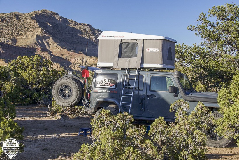
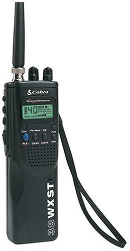
Note: I personally have a Cobra C 75 WX ST because finding places to mount a full size CB in a Jeep Wrangler can be difficult. With this system, all controls are in the mic and there is a small junction box which I was able to tuck away behind the dash.
As for my Iridium Satellite Phone, I have a Iridium 9555 Satellite Phone. I have a vehicle adapter kit for it, allowing the use of a magnetic external antenna. I have been doing more research on Ham Radios, and am looking at a portable hand-held unit such as a Baofeng, or similar.
With that said….I urge you to get out there, TAP into Adventure and do it safely!
Article by- TAP In-Field Contributor-Andrew Halsing and Lori Palmer
Product Photos- sourced from Internet and TAP
Editor: Lori Palmer