| GPS | N 36 19.84′ W117 42.84′ |
| Elevation | 1000-7,600 ft |
| Season | Year round: best Oct.-May although higher elevations may be closed due to snow. Call:760-786-3200 for weather info |
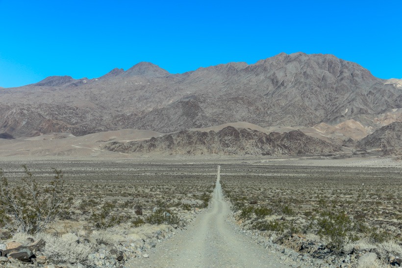
| Terrain | Packed dirt, sand in places, washboard |
| Difficulty | washboard, packed dirt, long distance with no facilities and possible harsh weather condions |
| Required Vehicle | High clearance 2 or 4 wheel drive |
| Time | 5.5 hours |
| Length | 91.4 miles — 78.8 unpaved |
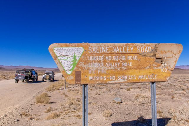
Directions: Saline Valley Road starts at California 190, 9.5 miles east of the intersection with CA 136. It ends at California 168, 2.5 miles east of Big Pine and the intersection with US 395.
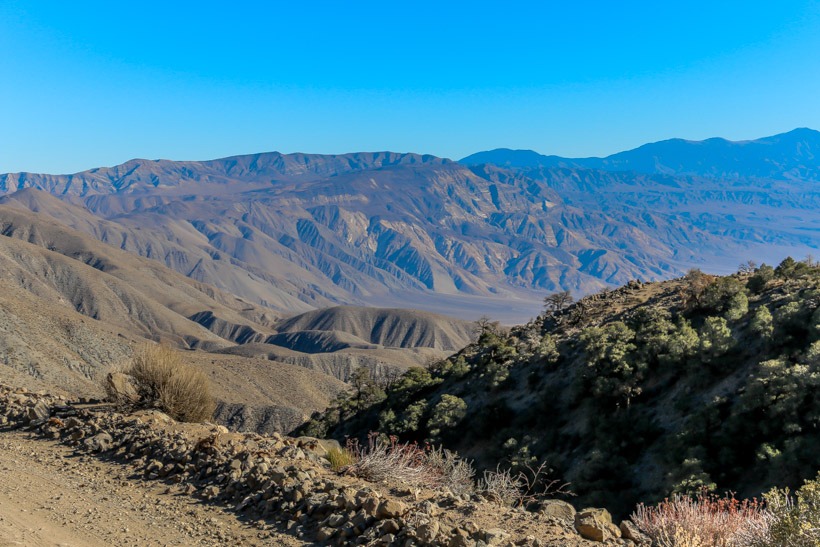
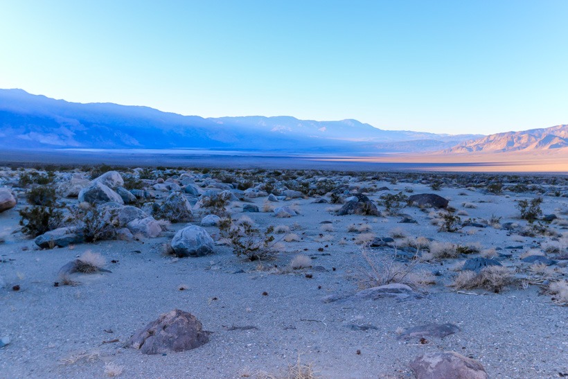
Site Location and Descripton: Saline Valley Road is one of the most remote locations overland in California. This desert basin in Death Valley National Park is surrounded by rugged mountains on all sides. It contains a wonderful Joshua tree forest (8 miles in at Lee Flat), a salt marsh, sand dunes, and a warm spring. This valley gives the overland adventurer amazing views of both the Inyo Mountains and, if you choose to set up your primate overland camp there, a fantastic array of brilliant stars in the night sky. This is truly a peaceful and beautifully unique destination on your journey through Death Valley.
History of Saline Valley: Saline Valley is best known for it’s salt and borax mining operations. Borax was discovered there in 1974 and was mined there from the late 1880’s through the early 1900’s. Salt was mined there at the same time as well but did not become a major concern until 1903. The need to transport the salt to the ferry and railroad on the western side of the Inyo Mountains for shipment across what was then Owens Lake led to the development of the salt tramway. It was constructed between 1911 and 1913 and ran from the floor of Saline Valley, up and over the Inyo Mountains, to Swansea in the Owen Valley.
