


Near Death Valley-Rhyolite Ghost Town

| GPS | N 36°54′14″ W 116°49′45″ |
| Elevation | 3,819 ft. |
| Season | Year round: best Oct.-May |
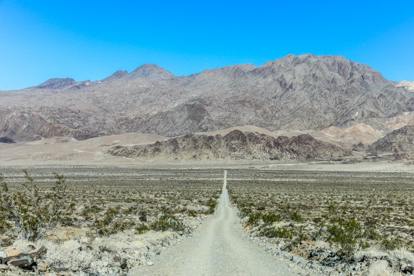
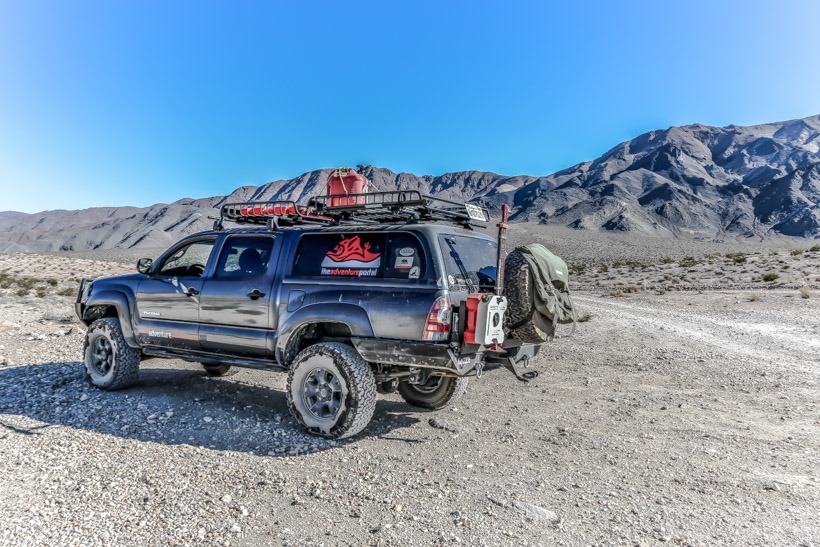
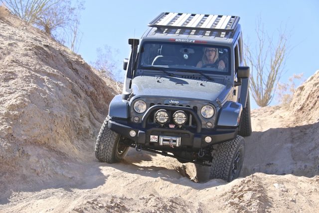
| Terrain | Paved road |
| Difficulty | Easy terrain |
| Required Vehicle | 2 or 4 wheel drive. |
| Time | 1/2 hour from Furnace Creek Visitor Center in Death Valley |
| Length | 35 miles each way. |
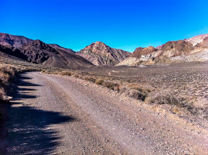
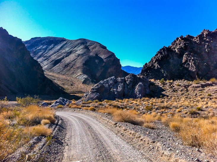
Directions: Rhyolite is 35 miles east of the Furnace Creek Visitor Center in Death Valley and 4 miles west of the town of Beatty, Nevada on HWY 374.
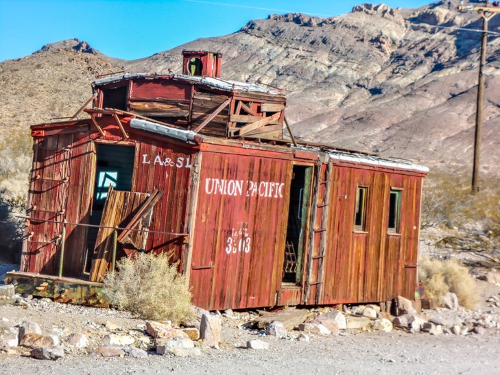
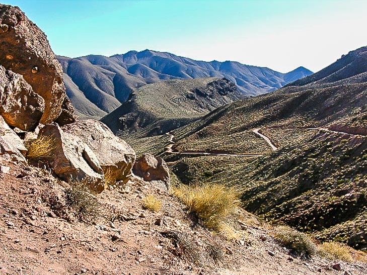
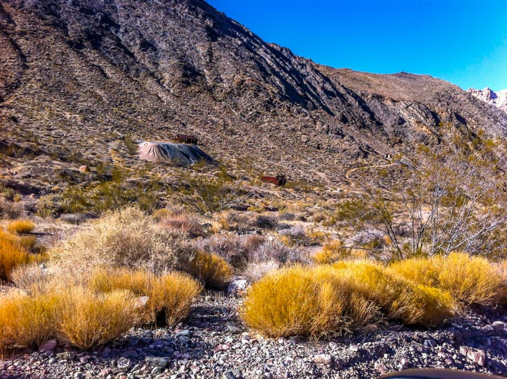
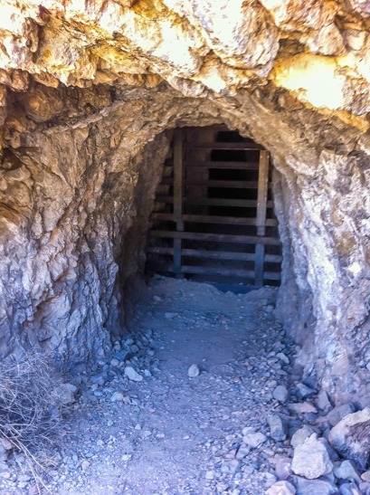
Site Location and Description Rhyolite ghost town is not within the boundary of Death Valley National Park, but don’t miss it on your adventure in Death Valley because it is one of the beauties of the area. A trip to this ghost town reveals the remnants of Rhyolites glory days. Some walls of the 3 story bank are still intact. You can walk into reminants of the old jail, an old rail car, and a privately owned train depot as well as The Bottle House which was restored by Paramount pictures in January 1925. The ghost town of Rhyolite is both federal and private land.
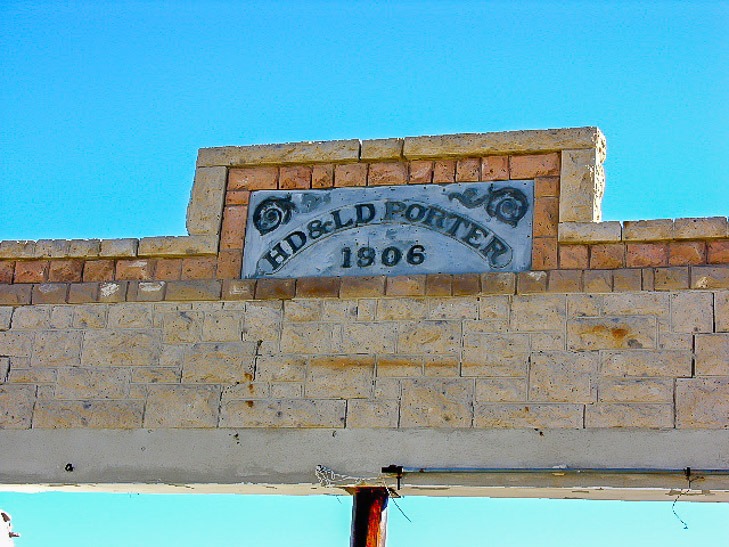
The History of Rhyolite In 1904 two prospectors, Shorty Harris and E.L. Cross found gold in the quartz on a nearby hill. At that time there was only one other person in the area: Beatty, who lived in a ranch with his family five miles away. Soon the rush was on and several camps were set up including Bullfrog, the Amargosa and a settlement between them called Jumpertown. A townsite was laid out nearby and was named after the silica-rich volcanic rock in the area, rhyolite. There were over 2000 mining claims in the area. The Shoshone mine was the most prosperous and located by the town which made the population grow tremendously. The townsite included a stock exchange and Board of Trade, hotels, schools for 250 students, electric and ice plants, an opera house, a red light district and much more. In 1906 Tom Kelly built a Bottle House out of 50,000 beer and liuor bottles. In 1907 electricity came to the town. After that a mill was built and the Montgomery Shoshone mine became nationally known because Bob Montgomery claimed he could take $10,000 a day in ore from the mine. It was later owned by Charles Schwab, who purchased it in 1906 for somewhere between 2 and 6 million dollars. In October of 1907, the financial panic or the 1907 Banker’s Panic set in and bankruptcies were numerous. Rhyolite was not impervious to this financial melt down and it marked the beginning of the end of Rhyolite. Over the next few years, banks in Rhyolite failed and mines started closing. By 1910 there were only 611 residents left in Rhyolite and on March 14, 1911 the directors closed down the Montgomery Shoshone mine and mill. The light and power was shut off in the town in 1916.


