Every time I leave the I-15 and start heading north along the I-395 into the Sierra, my mind is filled with the prospect of overland and outdoor adventure. Sure the initial area through Adelanto is boring with way too much traffic for the size of the road, but as soon as the highway breaks through that section, thoughts of Trona Pinnacles, Death Valley and the Sierra ricochet around my mind. Eventually, sagebrush desert gives way to the soaring Eastern Sierra and for me, this humble little road is the adventure artery away from, dare I say, “the madness of southern California”.
Our trip was supposed to be a 10-day affair with TAP taking both rigs and doing some serious off the grid exploring. However, like all well thought out plans, things change, so, after some re-arrangements I found myself setting off solo in the Beast with BlueDog as my wingman. Our agenda is fairly loose with the plan of exploring some easy to moderate backcountry trails as we work our way north to Lake Tahoe. We’re also equipped with gear and provisions to keep us away from civilization as long as possible.
Day 1: Eastern Sierra
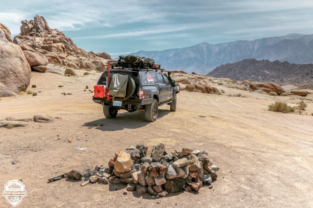
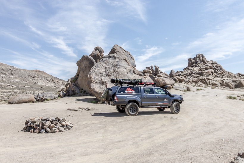
The previous week the temperatures had been perfect with highs of mid 80’s and lows of mid 40’s, but unfortunately as I set off, the forecast was calling for a heat wave with day time temps in the low 100’s and night time in the 80’s. With that in mind I figured I’d best gain altitude and stay as high as possible over night. Initially my plan was to camp the first night at Chimney Rock on the trail to Monache Meadows, however a 2 week man hunt 50 miles south of this area for a murdering survivalist, made me think again. I trust BlueDog in a knife fight, but apparently the guy has a semi automatic, so why take the risk. So, we keep going and eventually hit Lone Pine. Definitely too low for comfort in this heat, but we’ll have to suck it up as daylight is waning. The Alabama Hills and Movie Flats seems to be a great area to find some solitude, so we head down the trail to see what we can discover. This is not really a 4×4 trail, but it’s certainly a spectacular location and it’s easy to see why Hollywood has used it as a backdrop for several very famous movies. Pretty soon we find an amazing primitive campsite just off the trail, with an incredible view of the Sierra. We’d love to explore the maze of rounded boulders and weather ravaged gullies, but not this time. It’s been a long day fighting traffic and BlueDog and I are ready for some zz’s. As my head hits the pillow, I make a mental note to come back here again when the temperatures are more acceptable.
Day 2: Heading into the White Mountain’s
We both wake early after an uncomfortable night of tossing and turning and trying to keep cool; impossible. BlueDog looks at me with that “what were you thinking?” look on his face. Today, we head north and get up high. The chosen location is the Ancient Bristlecone Pine forests and White Mountains, east of the 395 at Big Pine. With an altitude of 8500-11,500ft things should calm down a little.
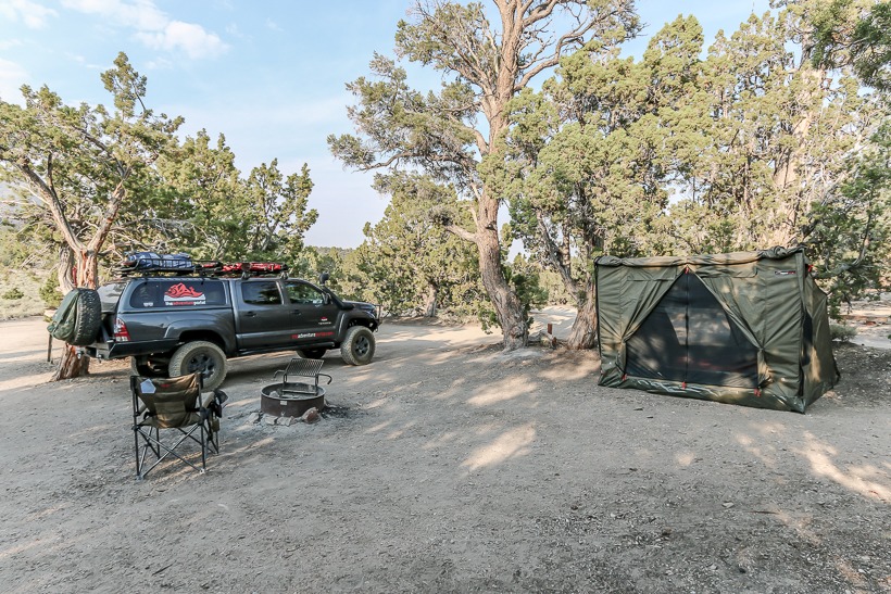
An hour after breaking camp we exit the I-395 at Big Pine and head east on the I-168 toward Death Valley. We’ve no interest in becoming desert rats today, so keep rising and exit on White Mountain Road. The geography and temperatures have changed and at 8,500 ft. we pull into Grand View Campground. It’s not like us to set up in an organized environment, but primitive camping is limited in this area so this is a good option. The campsite is “dry” and most sites are large and shaded giving a sense of separation and privacy. If you drive around the campsite loop and take the small trail leading away from the bigger sites, it’s easy to find some very secluded little spots. This is what we did and we didn’t have any neighbors for the two days we camped. Grand view is very popular with star-gazers due to its altitude and lack of ambient light. I saw some pretty amazing telescopes and field equipment and these guys slept quietly all day only to rise at 2am to start their day.
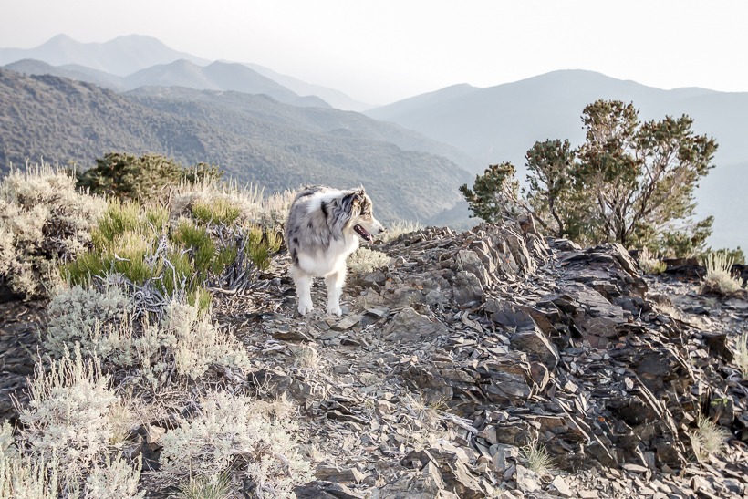
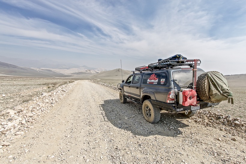
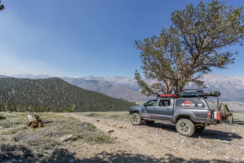
Blue and I spent two days exploring and hiking this area. The conditions were dry and dusty with daytime temperatures ranging from the mid 70’s to mid 80’s. Still hot, but certainly tolerable. I saw a few bow hunters and hikers, but all in all it was quiet and peaceful. White Mountain Road is easy and graded. I never used 4WD. However, the washboard surface will shake your teeth from your head, so I aired down to 20PSI to make it more comfortable. Due to the altitude of 8,500-11,500ft increasing the potential storm frequency, wet conditions could easily turn certain areas to mud. Also, snowstorms at this altitude could very easily catch you off guard, so always check the weather forecast and be prepared.
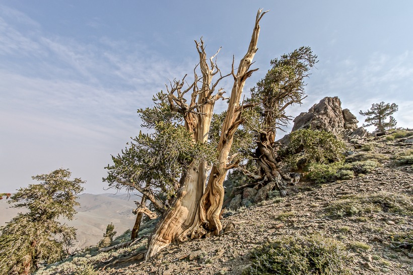
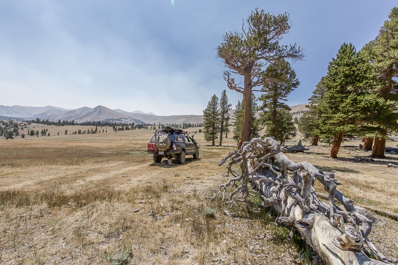
Walking amongst the ancient Bristlecone Pines made me feel young and somewhat small. Not in height or stature, but in purpose. To know that these Ancient Bristlecone trees have graced this earth for 4,000 years is truly humbling. The iconic twisted trunks with their gruesome limbs are a photographers dream, so I recommend visiting them at the golden hours of sunrise or sunset.
Day 5: Moving on
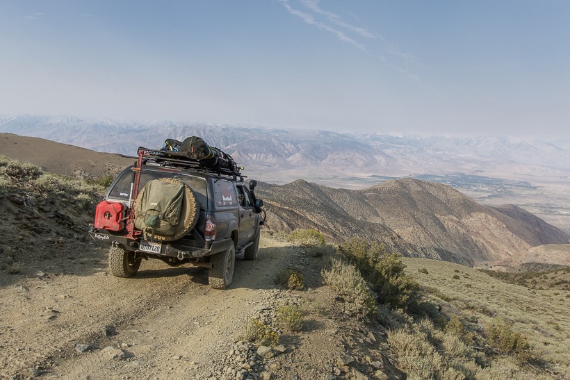
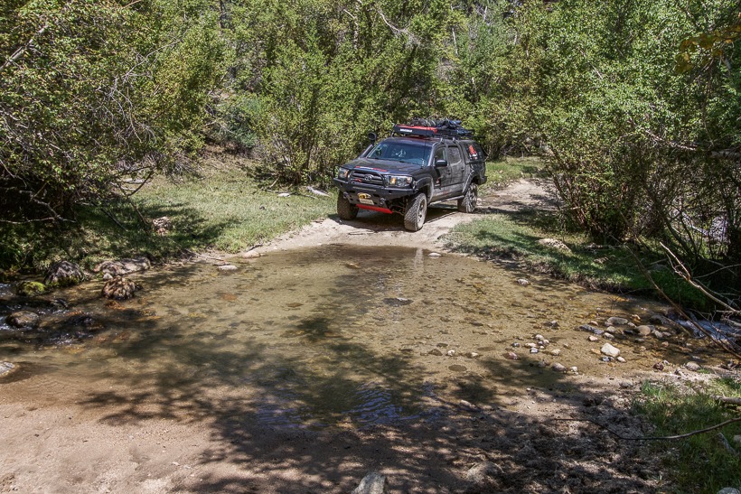
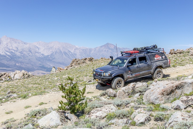
After two mellow days it was time to move on, so after breaking camp Blue and I headed down towards the northern end of Bishop via Silver Canyon Trail. The trailhead at 10,500ft is well marked and a couple miles past the visitor center off White Mountain Road. Although a fairly short trail of around 10 miles, it takes you on a descent with very steep and loose switchbacks. I would not like to drive this in wet or icy conditions and it is not for those who are hesitant on narrow, ledge-like trails with exposed drops. The trail is actually so steep that the OEM brakes on the Taco were smoking and lost traction. Our Taco is heavy due to armor and gear, so as I gingerly made my way down in 4low. I made a mental note to upgrade my rotors, pads and brake lines. I’d already lost my brakes this year while towing a trailer down from Cerro Gordo Ghost Town in Death Valley and when you hit that spongy point it’s not fun! After about 6 miles the switchbacks ease off and there are a couple of creek crossings. This time of year they are very easy and great for cooling off my rotors and a bored dog. It would be fun to tackle these crossings after seasonal spring run-off.
Day 6: Getting high in the eastern Sierra
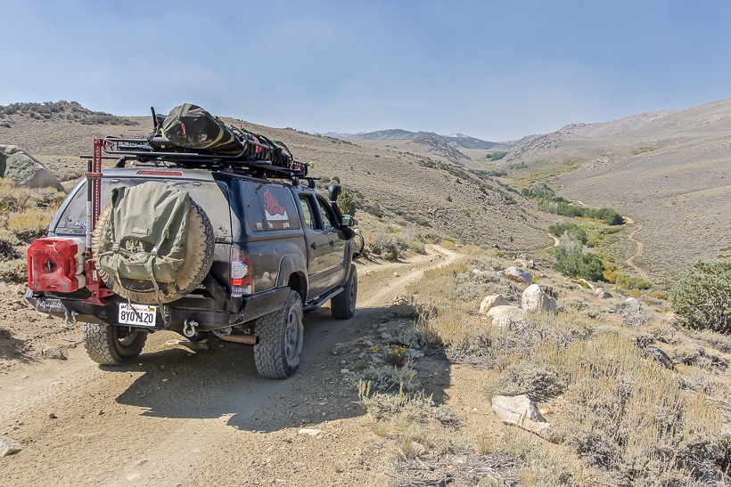
Back on the I-395, Blue and I head out to explore the Buttermilk Trail and finish the day camping primitively in the Coyote Flats area. The Buttermilk Trail starts in typical sagebrush and boulder covered desert terrain and quickly changes as it climbs towards the Sierra foothills. The aspen groves are beautiful here. It is serene with a couple of creek crossings providing a cool down and fun for BlueDog as he hunts for fish for supper. As we explore this trail, we discover pristine primitive camp areas amongst the boulders and trees. This, however is not our planned stopping area, so will have to wait for another time. The trail was 16 miles long and certainly an area I would visit again. I only saw two other vehicles making this a peaceful but hot setting in August. I would imagine that as the fall beauty sets in, the trail would see more traffic due to it’s proximity to Bishop.
Next stop is the Coyote Flats Trailhead in the SW side of Bishop. It’s 3pm and the temperatures are once again in the low hundreds in the valley. Definitely time to get up to a higher altitude. I’ve heard there are plenty of primitive spots up to 10,000 ft. That’s our plan for tonight. The heat of the day is beginning to weigh on both of us intrepid adventurers.
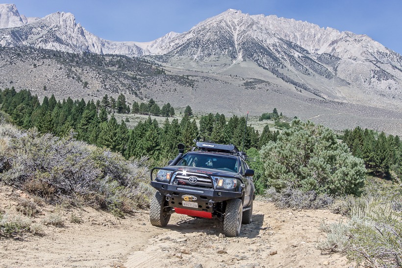
Once again, the trailhead starts in desert sand and I rise up the switchbacks, gaining altitude quickly. The trail is loose and steep and I can hear a vehicle struggling ahead of us. Eventually, I come across a Tundra 4×4 with road tires that has become stuck in sand. Their friends in a 2 door Wrangler are snatch strapping them out and tell me they don’t need extra help. I continue on wishing them luck and fun explorations. The lesson here is that a good set of all terrain tires are just as important as 4×4 transmission when it comes to maintaining traction on steep and loose trails.
After an hour or so, I climb up to a meadow at around 10,500 ft. We’ve taken a right turn trail away from the more popular Funnel Lake and Coyote Flat Trail and have stumbled across the perfect setting for a peaceful night in the solitude of the Sierra. First things first, I throw a ball for BlueDog for the next 30 minutes before he collapses in a heap beaten into submission by the lack of oxygen. He’s young and fit, but being a sea level athlete has its limitations.
The next hour involves setting up camp and cooking up a typical and classic camp meal of sausages and beans. The temperature drops rapidly and even in August I need a light, puffy jacket to keep warm. A no fire ban is in effect, so again as daylights slips away, we hit the sack and pass quickly into dreams of the day. Chasing ground squirrels for BlueDog and lost brakes and stream crossings for me.
Day 7: Hanging out
We spend the next day and night in the Coyote Creek and Coyote Flats area. I truly recommend it as a fantastic region for light overlanding in this beautiful and peaceful Eastern Sierra terrain. Potential primitive camp spots are everywhere and the scenery is beautiful.
Over the next 2 days I had planned to camp and explore the June Lake and Mono Lake area, however once again plans changed. A forest fire had erupted causing smoke pollution and road closures, so we re-grouped and decided to cut out this portion of the trip and drive up I-395 to the Lake Tahoe region.
With any adventure it’s important to be flexible and go with the flow. Although my mid summer trip to the Sierra proved hotter than desired and my journey ended up not taking me to all the places I had wanted to go, it was still a great experience. Sure, I did less challenging trails due to being solo and I’m not going to deny that being in the middle of nowhere alone can be a little daunting at times. This said, the bottom line is that I got to experience the beauty and solitude of the Sierra and can’t wait to go back again in the Fall.










Nice recap, I’m about to tackle a 5 day solo trip myself. When I was a kid in California, my dad & I used to explore many of the areas you just described.
Great article. I just got back from camping out in the Big Pine Creek area. I see that you’re still using the Oztent. Realistically, how long is it to get completely set up? I’m just about ready to pull the trigger on an RV-5. I have a great tent already. I use a Springbar Vagabond 7. It’s just a little bigger than I need, and I think that the Oztent would be significantly quicker to get set up. Is it big enough to set up a couple cots inside? Thanks for the help.
Hey John. The OZ-Tent does genuinely erect in 30 seconds from the time it’s laid out on the ground. It’s a very simple mechanism where you step inside, grab the front bar and pull forward and upwards and hey presto it’s done! However, my point always though, is that’s not all you have to do. (1) It’s a large item in a carrying bag weighing 50lbs, so we carry it on our roof rack (It doesn’t fit in our Tacoma 5ft bed). Because of that, factor in the time it takes to get it off the rack, get it out of the bag and spread it out. (2) Depending on the weather, you may need to stake it out and use the guy ropes. All this takes time, so for us the 30 second statement is…..marketing. My estimate from roof rack to finish is 5 minutes. Still not bad and easy to do!
I think the Oz-tent is very well designed, made of heavy duty materials and easy to use and set up. We’ve used it for a year now and it’s handled rain and wind very easily and doesn’t show any wear and tear. The two of us fit comfortable on cots and there’s room for BlueDog. When our Daughter joins us on trips, it’s pretty tight in there, but doable.
Everything is always a compromise and we’ve used many different set ups. RTT’s are great and easy to set up too (although also at least 5 mins, once you take the cover off etc, etc). For actual sleeping comfort, I genuinely prefer sleeping on a cot in the OZ-Tent. In the desert though, I prefer being off the ground due to scorpions, ant, snakes, etc.
Bottom line, I genuinely can recommend the Oz-tent. Hope this helps. Andy
Thanks Andy, that review really does help. Sounds like I use my tent much the same as you. I’ve got 3-4 plus my dog that we take camping. I bought a set of Disc-o-bed cots that are basically bunk beds. We’ve used them twice and they truly work really well. They open up so much room in the tent. I’m also checking out the Jet tent. It looks like it sets up just about as quick but packs up a little smaller. Either that or I’m gonna make the plunge and buy an off-road trailer. I like the Basecamp from Guasti trailers. I haven’t read any reviews on them, I don’t think the guy has sold to many, but they look pretty cool.