Berdoo Canyon Road – Joshua Tree
| GPS | N33 54.62 W116 03.40 |
| Elevation | 900-4,400 ft |
| Season | Year round: best Oct.-May |
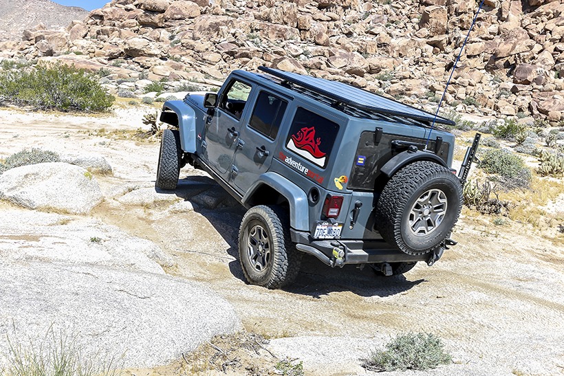
| Terrain | Packed dirt, deep sand in places, washboard: flash floods are a possibility |
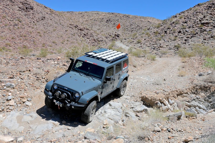
| Difficulty | Easy: The last part of the trail is moderate. Check with the visitor center for latest conditions as flash flooding is a possibility and dramatically changes road conditions. |
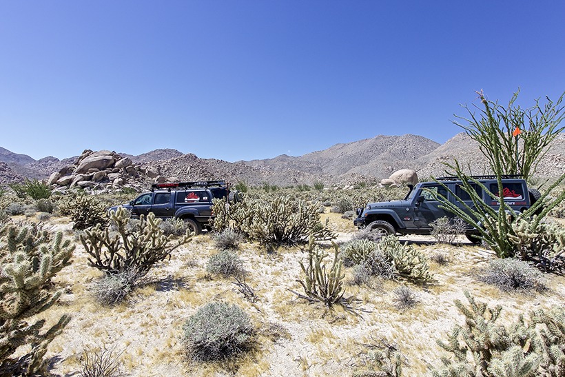
| Required Vehicle | 4WD high clearance SUVs |
| Time | 2 hours |
| Length | 14.9 miles |

Directions: From Interstate 10 N of Palm Springs, take Hwy 62 north then east about 43 miles to Twentynine Palms. Follow signs to the Oasis Visitor Center. Go south into the park through the North Entrance Station. Follow the signs to Jumbo Rocks Campground then go another 1.6 miles west. Turn left at the marker for Geology Tour road.
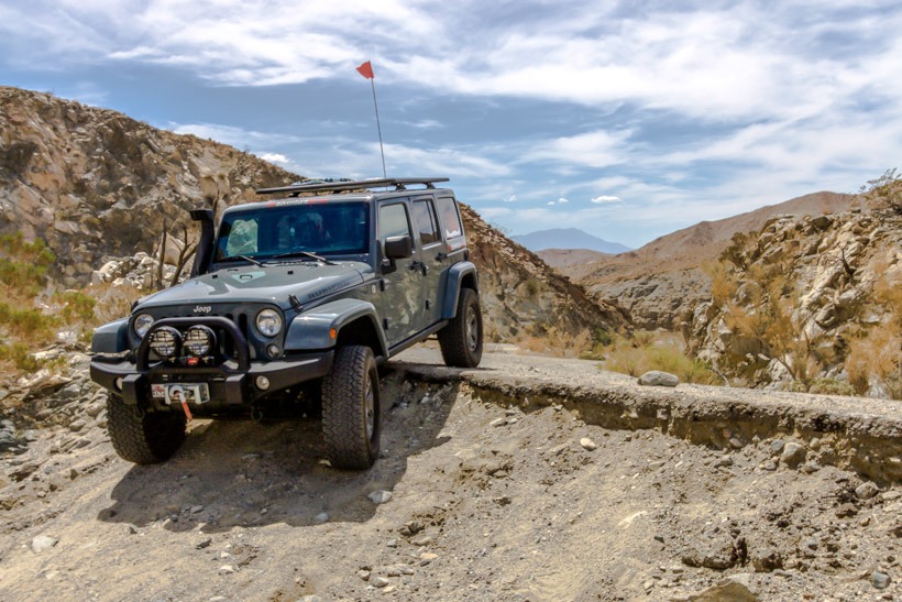
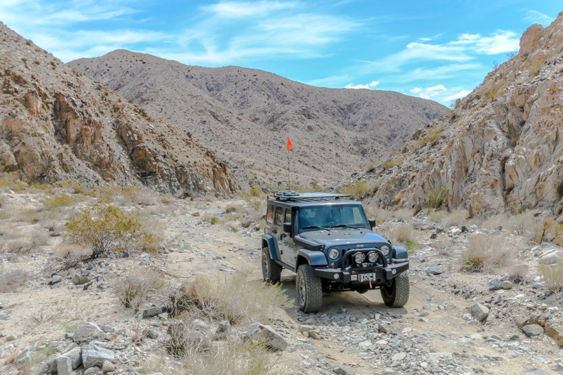
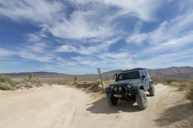
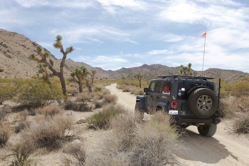
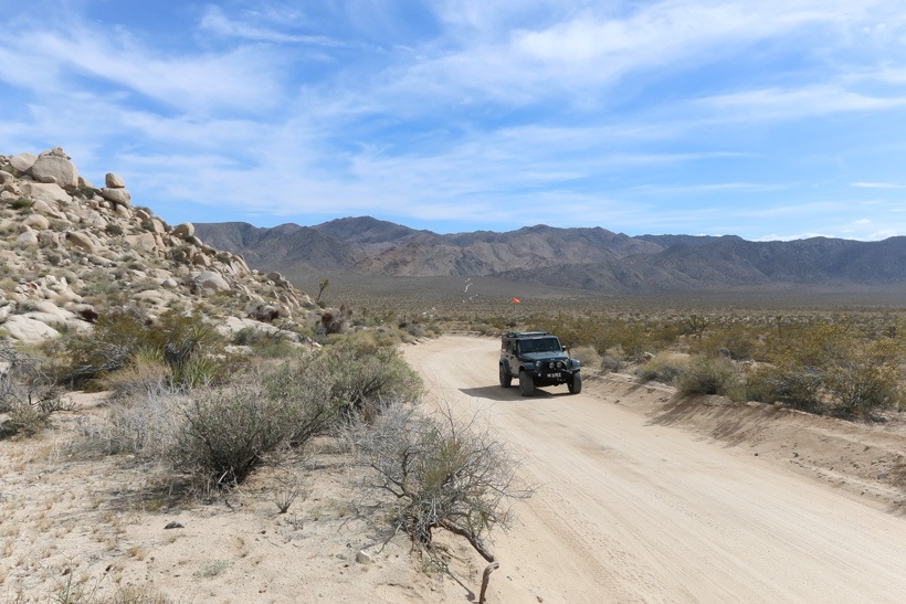
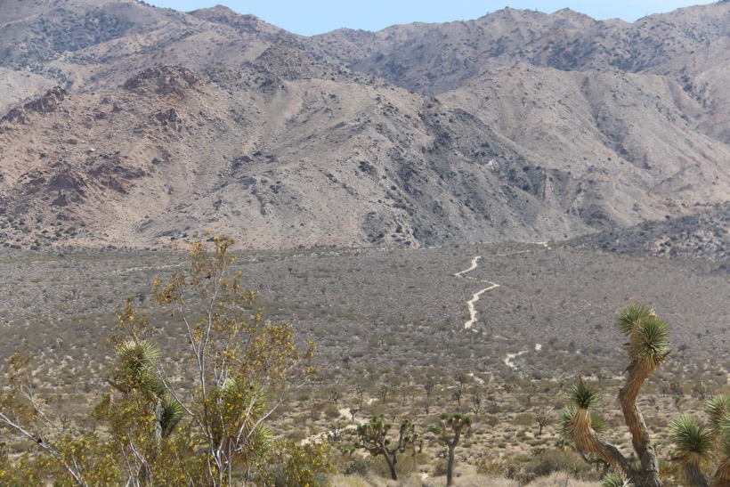
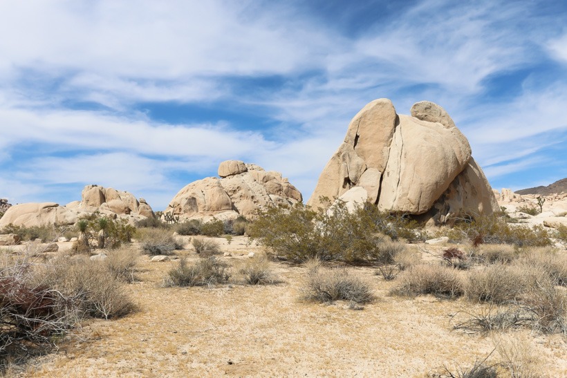
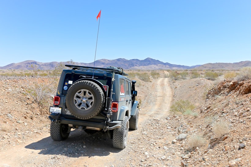
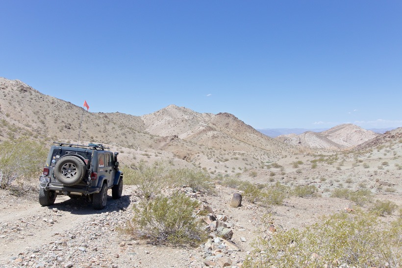
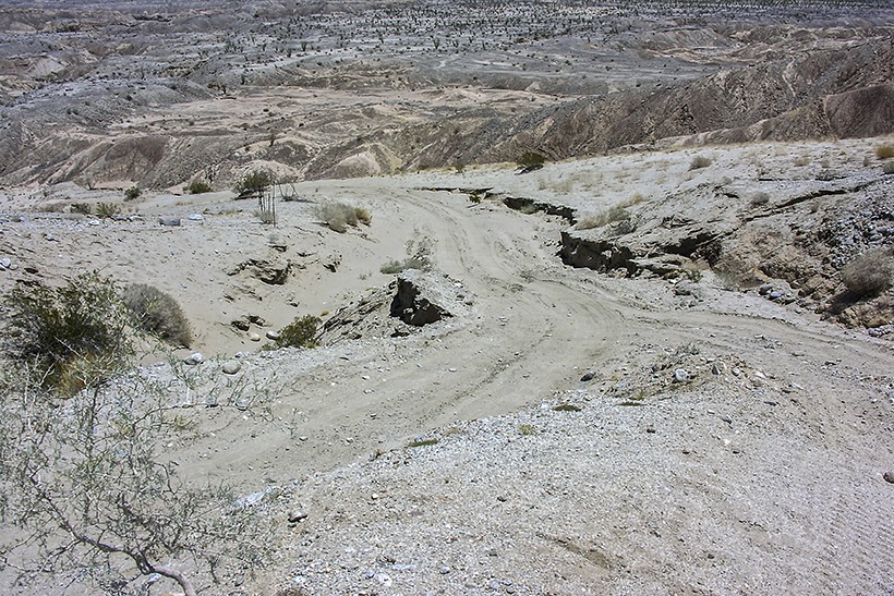
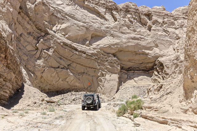
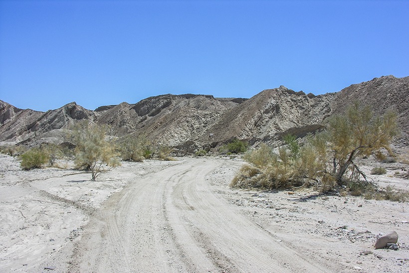
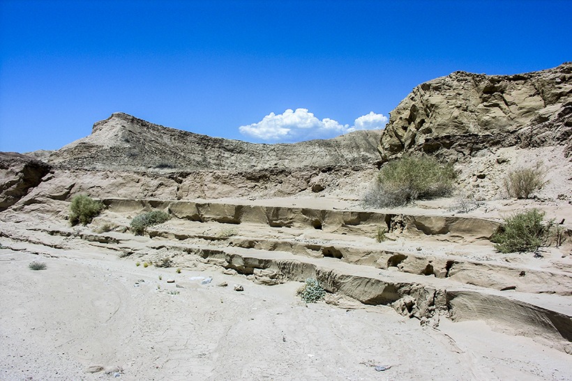
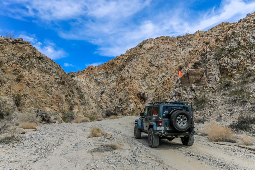
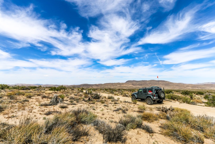
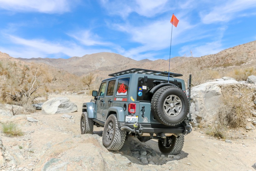
Site Location and Description: Berdoo Canyon Trail connects Geology Tour Road to Dillon Road. It begins at the one-way loop on Geology Tour Road. Berdoo takes you toward the San Bernardino Mountains and ascends into Berdoo Canyon. This slope can be the moderately difficult portion of the trail as it is easy affected by rains and contains some deep ruts and uneven, loose, sandy areas. The trail mostly follows a wash once in the canyon. This is a striking and remote area with high canyon walls and sparse vegitation. The trail then winds through a remote and serenely beautiful mountain area. The lower end of the trail takes you past the site of Berdoo Camp, part of the Colorado River Aqueduct construction project (more info below). Here you see the concrete ruins of the camp walls above the canyon then drive on to an old paved road that used to serve the camp leading out of Berdoo Canyon. TAP Note: There is no camping allowed anywhere in Joshua Tree National Park outside of the developed campgrounds. It is also prohibited to remove anything from the park.
History of Berdoo Canyon Trail: The name Berdoo is a nickname for San Bernardino. The Berdoo camp was set up because it was located in an area that had water. It is close to the mouth of the canyon and opens up to the Coachella Valley. The camp was part of the Colorado River Aqueduct construction project which carries water from Parker Dam in AZ to Los Angeles. It was constructied in 1932. The Berdoo camp was one of four headquarters for construction crews built along the aqueduct route. They built the tunnel section under the Little San Bernardino Mountains and the area is known as the East Coachella Tunnel Division. These tunnels stretched over 18 miles. The section under camp Berdoo was 2,000 ft under ground and 5 miles long. Workers lived in dorms at the camp. There was a hospital, mess hall and store on site. Construction was completed in 1939. What remains of the camp today is the flat pad area that once was the center of activity for the workers and some concrete walls. This aqueduct made it possible for the fruit-growing industry to develop in the Coachella Valley in the 1940s. Skye Valley (NW of the trail)and a few other settlements got their start as a result of the construction project and Dillon Road (west end of trail) was built to establish access to the area for the workers.